

Likani guard station – Lomismta tourist shelter; Distance - 15 km
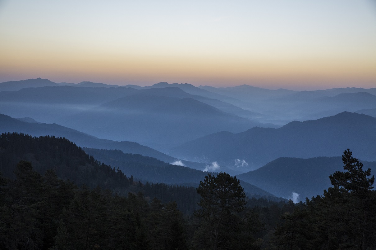
The hike starts in the Likani River valley and you go 2 km while hiking on the plains where you will find the national park map followed by a serpentine path along the mountain slope. The ascent continues for approximately 3 hours. Then it runs through panoramic views and in the second half of the day it gets relatively easy.
The first overnight is possible in theLomismta tourist shelter (1,800 m above sea level) or in the camping site.
Lomismta tourist shelter - Amarati tourist shelter; Distance - 20 KM
The next day hiking is relatively long and hard. You will find the summer cabins of shepherds along the road, where they shelter domestic cattle in summer. The beginning and the end of the second day trail are ascents with parts of the plains.
Overnight is possible in Amarati tourist shelter or in tents.
Amarati tourist shelter – Atskuri guard station; Distance - 16 KM
After an overnight in the Amarati tourist shelter, hiking becomes easier and then you go down to the Atskuri ranger shelter.
Please contact us for detail information about trail - +995 577 64 04 80

Attraction Passes
You are able to practice payable eco-tourist services at the National Parks of Georgia.
read more